Windracers featured in Dronelife on Greenland surveying mission
Windracers has been featured in Dronelife discussing the deployment of Windracers ULTRA to support a critical Arctic surveying mission in Greenland.
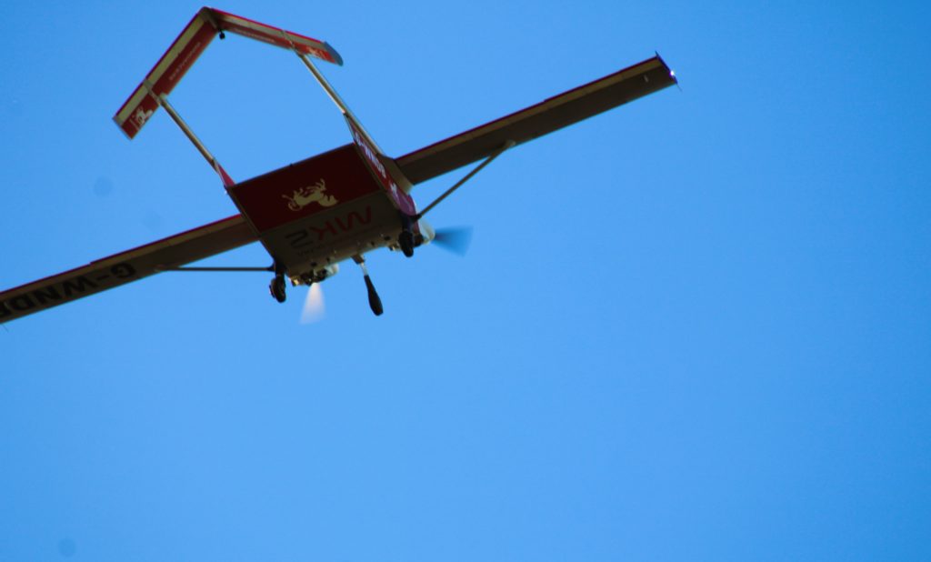
An international team of researchers, led by the British Antarctic Survey (BAS), will use Windracers ULTRA, the world’s most accomplished dual-use heavy-lift drone, to study how ice and ocean water interact in northwestern Greenland – one of the most remote and extreme environments on Earth.
Focusing on the Petermann Glacier, the mission will gather critical data for the GIANT Project, improving understanding of ice loss and its impact on global sea levels.
Windracers ULTRA’s main payload will be a 300-megahertz ice-penetrating radar, capable of “seeing” through the ice to the rock or water underneath and measuring the thickness of the glacier at different points.
British Antarctic Survey Geophysicist, Tom Jordan, who is leading the airborne UAV survey component of the GIANT Project, explains how the aircraft has been configured: “It [ULTRA] has three antennas mounted in the belly, the cargo bay of the aircraft, and then it’s got four antennas mounted on the wings, on the structure, and at the wing tip”. This array of antennas, along with a downward-looking camera, will create a full 3D picture of what lies beneath the surface.

On completion, the radar equipment will be replaced with higher resolution cameras to support a secondary project studying narwhal populations for local Greenlandic hosts.
The mission highlights how long-range, heavy-lift autonomous systems like Windracers ULTRA are extending the reach of scientific research, enabling data collection in environments that are otherwise difficult, costly, or impossible to access.
Read the full article here.
For all media enquiries, please contact:
Windracers newsdesk at pressoffice@windracers.com