
Range
Payload
Max endurance
Service ceiling
Take-off Distance
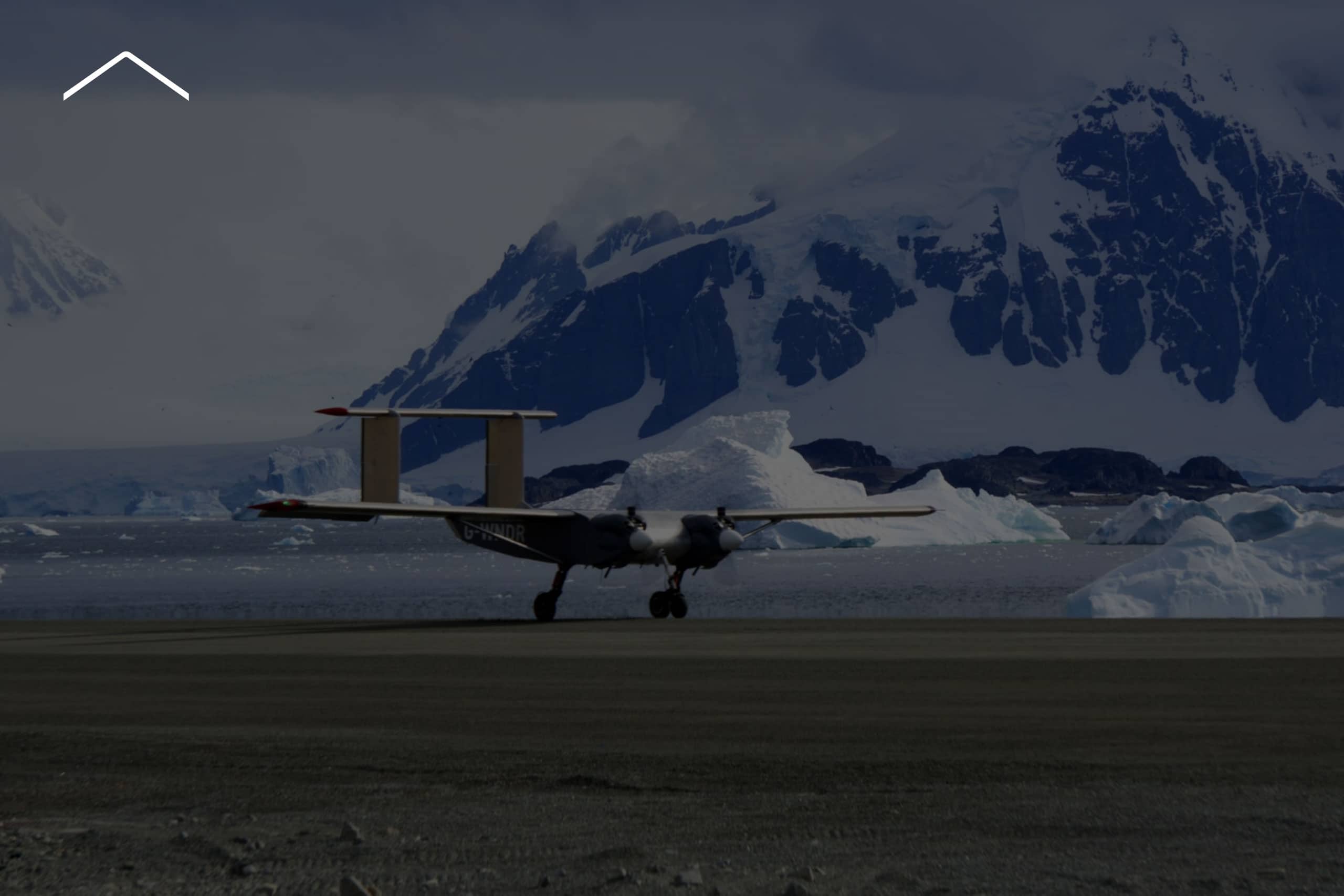
Research
Long-endurance aerial survey missions powered by your equipment
British Antarctic Survey, NORCE and University of Alaska Fairbanks have chosen Windracers ULTRA for research missions in some of the world’s most remote locations across Antarctica and the High North including Alaska, Finland and Greenland.
Customisable configuration of the payload bay accommodates sensing and scientific equipment for land and maritime aerial survey. Cameras, communication capabilities, radar, LiDAR, integrated power boxes and refrigerated units can be fitted to support any operational requirement. Design integration is supported by Windracers specialists.
A Platform to Carry Your Sensing Equipment
Windracers ULTRA is the platform that enables you to integrate the equipment and sensing technologies required to meet your research objectives.The cargo bay is customisable and can be swapped out quickly for a floor that will enable other research aims. Equipment can be mounted on external aircraft structures, including the wing struts and the underside of the tail and cargo bay. ULTRA can remain airborne for up to 15 hours and operate at night and in fog, enabling a cost-effective and continuous mission plan.
- Customisable configuration for your equipment
- Dropping from 3 bays avoiding need to land
- Cameras
- Satellite Communications
- Radar
- LiDAR
- Integrated power boxes
- Temperature Controlled Units
- Aluminum construction for repair and maintenance
- Twin engine reliability
- Operationally tested from -40 to +30
- Icing detection available
- Cross wind limits 20 knots
- 40 knots in flight component

Is your mission ready? ULTRA is.
Contact Windracers to tell us about you want to utilise Windracers ULTRA to complete a mission.

Spotlight NORCE: ULTRA for scientific survey missions in the Antarctic
In one of the most remote and least observed regions on Earth, scientists are working to better understand the environmental systems shaping our planet. To support this effort, the Norwegian research institute NORCE has selected Windracers ULTRA to carry advanced sensors across vast distances to collect critical environmental data, expanding scientific observation in Antarctica. Nils Håheim-Saers, NORCE Chief Engineer, explains.
Spotlight British Antarctic Survey: ULTRA for Antarctic Environmental Research
In a world-first for drone-assisted science, BAS employed Windracers ULTRA for autonomous Beyond Visual Line of Sight (BVLOS) missions to map out remote parts of West Antarctica and investigate how the Earth’s crust was created and shaped.
The new research, published in the Journal of Geophysical Research, used state-of-the-art gravity and magnetic sensors to reveal huge bodies of frozen magma, hidden below the icy sea. Photos of previously unexplored islands, taken at the same time, show how these rocks were deformed as the mountains of the Antarctic Peninsula were pushed up by movement of the Earth’s tectonic plates.
Until these flights, the lack of data from this remote area meant scientists had limited understanding of the region. Using the long-range, heavy-lift capability and autonomous operation of Windracers ULTRA, BAS experts were able to quickly and effectively map out the hidden geology of this inaccessible region.

Discover the latest from Windracers
